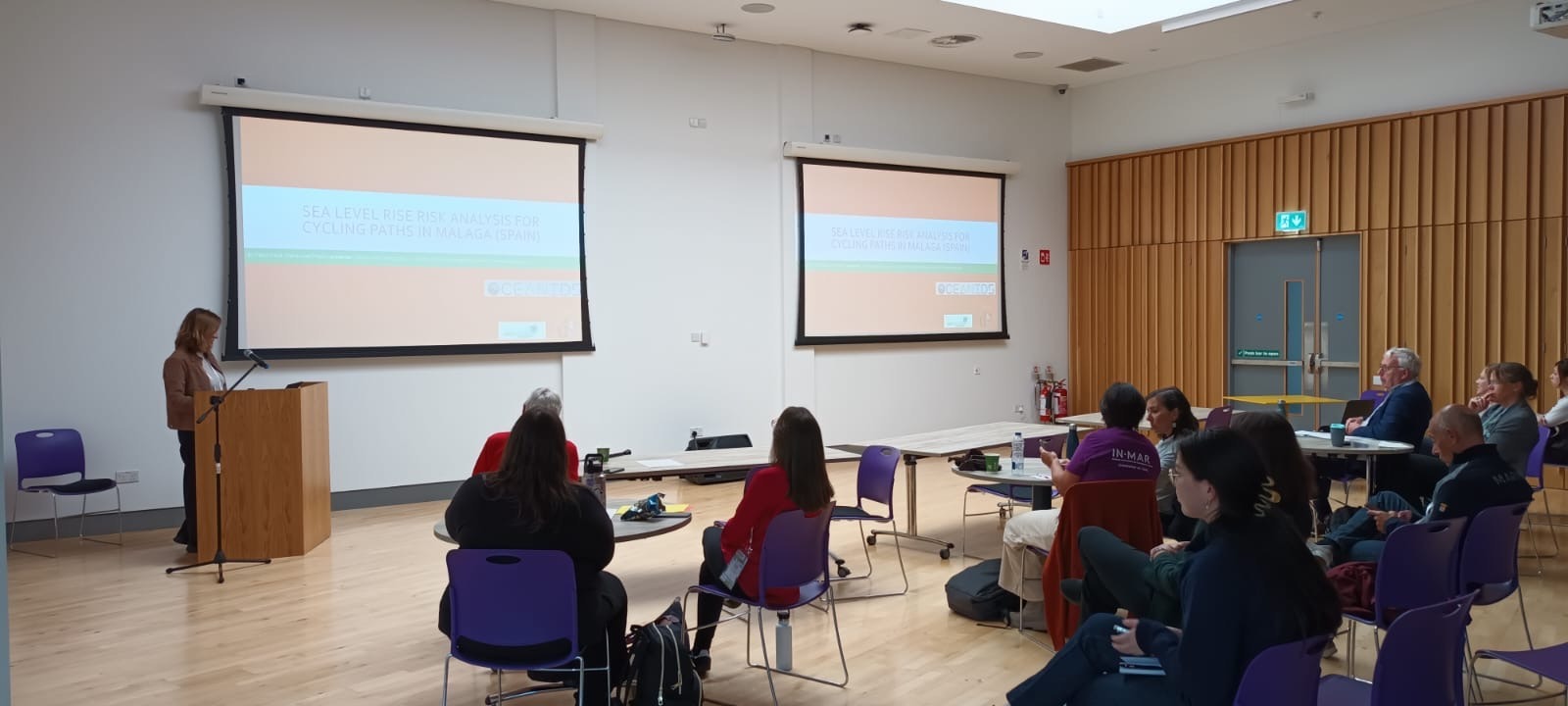
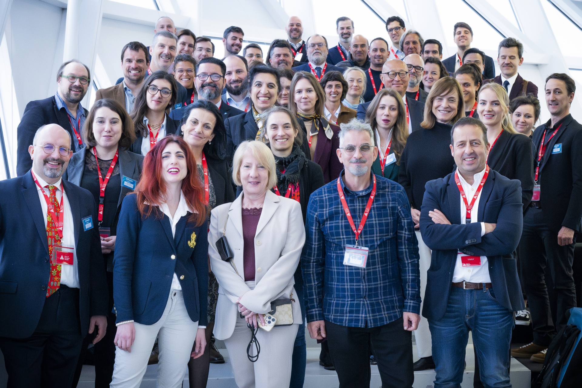
The OCEANIDS project was represented at the 35th International Geographical Congress, where a presentation was delivered by María José Prados from the Universidad de Sevilla on August 28th. This event brought together experts from around the world to discuss the latest challenges and solutions in coastal geography and management.
The presentation, titled “Sea Level Rise Risk Analysis for Cycle Paths in Málaga Area,” focused on the importance of incorporating climate change considerations into territorial planning and interventions. By comparing flood risks in two key coastal areas, Málaga and the Bay of Cádiz, this analysis aligns with the objectives of the OCEANIDS project, which aims to promote resilience and sustainable pathways for coastal regions.
This presentation was part of a session dedicated to “Managing, Protecting, and Conserving Coastal Natural Resources,” where various topics such as sea-level rise, coastal erosion, and human impact on coastal ecosystems were explored. The congress provided a platform for researchers, policymakers, and practitioners to exchange knowledge and insights on strategies for building resilient and inclusive pathways for coastal communities.
The involvement of the OCEANIDS project at this international event reflects its ongoing commitment to advancing sustainable marine resource management and contributing to global efforts to address climate change impacts on coastal regions.